
The storm is currently tracking east-northeast at 8 mph, with a projected turn toward the north by Friday. Forecasters warn of a life-threatening storm surge, with water levels potentially rising 5 to 7 feet between Ocean Springs, Mississippi, and Indian Pass, Florida. Mobile Bay, Alabama, faces similar flooding risks, while lower surges of 1 to 3 feet are expected as far west as Lake Pontchartrain.
In section Market Quotes
Gulf Coast Braces for Hurricane Conditions as Isaias Intensifies
With maximum sustained winds climbing to 45 mph, Tropical Storm Isaias is on a collision course with the U.S. Gulf Coast. National Hurricane Center forecasters expect the system to reach hurricane strength by Thursday, prompting urgent watches for storm surges and high winds across a wide stretch of the shoreline.
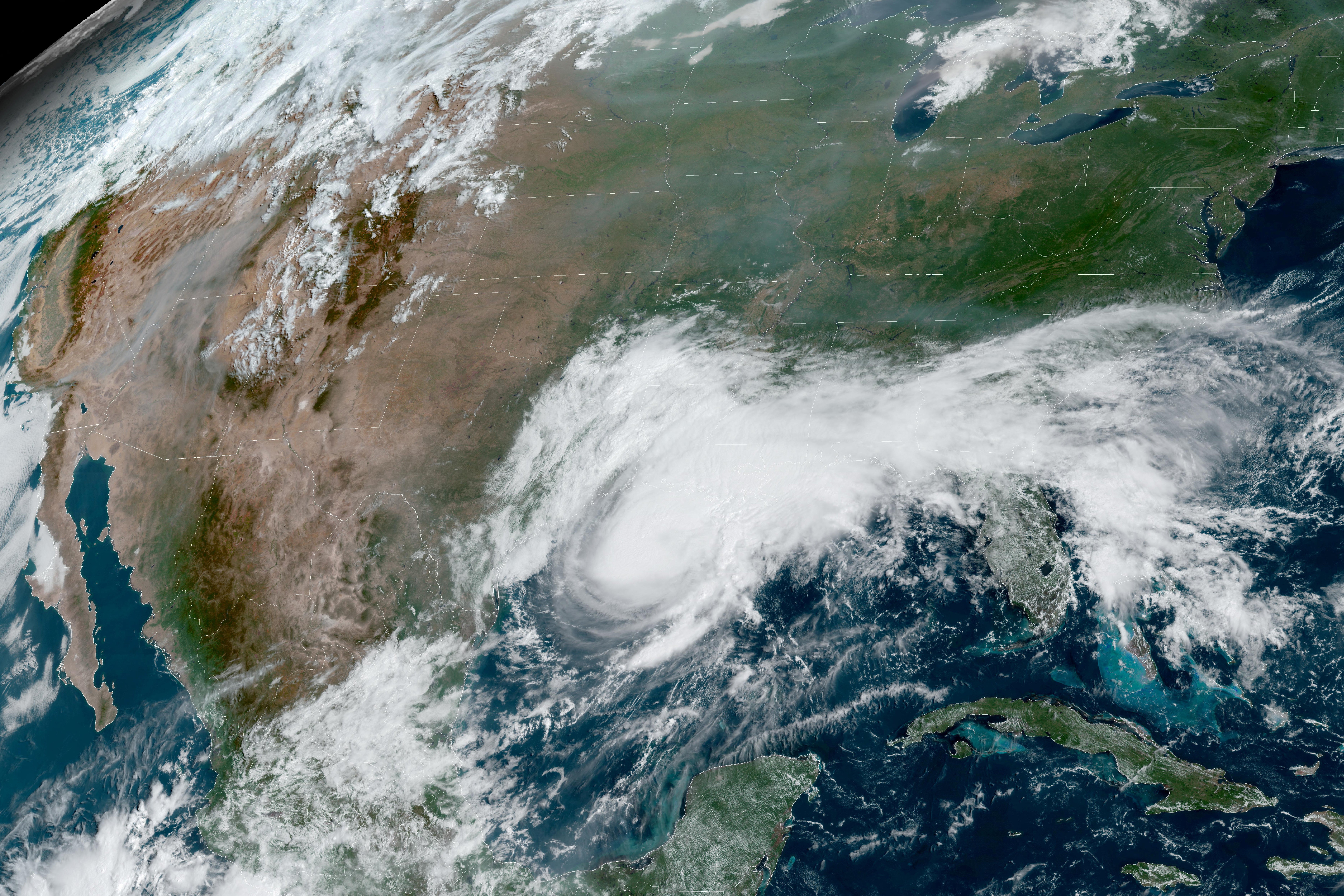
Authorities have activated a hurricane watch for the region spanning from Bay St. Louis, Mississippi, to Indian Pass, Florida, where hurricane-force winds could arrive by late Friday. Additional tropical storm watches are in effect from the Jefferson/Plaquemines Parish line in Louisiana to the Aucilla River in Florida. Beyond the wind and surge threats, the system is expected to dump 3 to 6 inches of rainfall, with localized totals potentially reaching 10 inches.
Comments (0)
No comments yet. Be the first!